I’ve travelled by maps made from trees (and sometimes still do). But when Google Maps came alive I was just astounded about how much easier that made things. But; you couldn’t take it with you. And so I, (like many others) would take the literal screen shot, of the computer, with a digital camera, of the map or route needed to be taken once it was on the screen.
Google Maps was an advancement in navigation, but this App is (or rather was) an evolution. I’ve now been using it for 3-4 years and frankly thought it was kinda common knowledge. Recent events however have just reiterated that maybe it is not. So to stem the pain, and as I’m sure Mr Wendell would agree, let me introduce you to the number one app essential for travel.
Maps.me
(Search for it in your local App Store or just click the link above).
So why do I need to have it and what does it do?
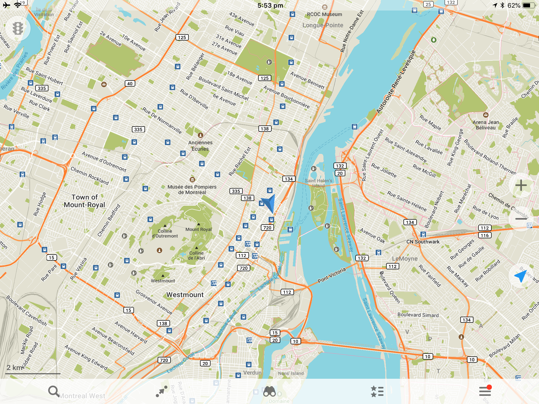
Using the technology of OpenStreetMaps data, it’s Google Maps but completely offline.
What You Can Do
- Download a map when you have access to data (ether wifi or mobile data, but recommend to be safe when oversees you disable mobile data as an option within the App in case you accidentally turn on roaming – just in case).
- Once you have downloaded the map it will then;
- Show your current location via overlay of GPS position onto the pre-downloaded map,.
- Search for destinations, plan a route between your location and another location, or two independent locations.
- Once a route is found start voice guidance (but I don’t recommend this generally unless you really do need your hand free as I’ll explain why below).
- Pin-drop a destination with colour codes and user comments so save a position to the map.
- Show GPS co-ordinates.
- It’s also worth noting that the maps are not limited to urban areas. I’ve used maps.me to successfully navigate some pretty off-grid (I thought) hiking trails and back-routes. It has also however really bugged me up – but I’ll touch on that below.
It will do basically anything you can think of with a map except for what it doesn’t.
What You Can Not
- The real benefit of this App is it offline functionality, and unfortunately you can’t fit the entire internet in your pocket. But what this really limits you to is not being able to search public transport routes or some other nice feature only available when online.
- I.e. When offline any route plan will be point-point via mapped walkways, paths and roads only. It can’t give you guidance on public transport which can only otherwise be done when online.
Otherwise tho, not really much else worth noting but do pay particular attention to my final Unordinary Tip.
Great, so how do I use it?
Its pretty straight forward, Maps.me getting started can help get you underway but for the most part just remember what it can do and you’ll find you way.
However, I suggest you read the following very very carefully, and never forget !
Unordinary Tips
DO NOT forget these tips or YOU WILL regret it at some point. Trust me.
- Maps.me overlays GPS position onto a pre-downloaded map so it doesn’t use data. BUT, GPS uses a lot of battery so when-ever you’re not looking at the App minimise it. And I do literally mean if your eyes aren’t on the screen, press the home button. (Note we’re doing this to form a habit so one day we don’t leave it running continually and drain the battery – not just because we need to save a few seconds of usage).
- Make sure that it can only access your location While Using the App. Here you don’t need to actually exit the application, just send it to the background / minimise it. BUT IMPORTANTLY
- If you do plan a route and then hit Start for active or voice guidance this counts as using the App even if you minimise the window. Luckily (at least iOS 8 update) you get told this as a notification so can restore the window, cancel the navigation and then minimise again.
- Any traveller ultimately becomes a battery management expert; making sure they get home at the end of the day with enough battery to guide them back (using maps.me) but having also taken enough photos during the day to make everyone hate you. But until Battery Manager status, or especially if your travelling to a remote destination a small (2600mAh battery pack is a must).
- Before you enter an area that you will need a new map to navigate, make sure you check a destination within that area (before Leaving wifi) to make sure the right map has been downloaded. My recommendation is to make sure you can see (and pin-drop) your accommodation for the next night. As if you can find that, your good. Why? well some areas, even cities (e.g. LAX) are split into multiple maps to manage the size so unless you check you might have accidentally downloaded the wrong region. And be quite stuffed.
- Finally, and this is a biggy, whilst OpenStreetMaps is an absolutely amazing source of map information (if you had any idea of the hiking trails and back routes that maps.me has got me through you’d similarly be astonished as me). BUT, and this is a VERY BIG BUT, it has also lead me into some very very difficult situation due to a trail being no longer a trail but still visible on OpenStreetMaps. You see, once someone puts the path there, it stays until it’s removed. So for example, if your only the second person to use a trail (after the person who mapped it) and its been a very very long time since, the trail might not be as its seems on the maps.
….actually on second thought, and whilst the final point is true, you probably don’t need to worry about it.
The end?
It will change YOUR travel. Just get it.
I have used OSMand+ for cycling for a couple of years. I think it has a few more options but not as easy to drive for the novice. And yes folk are good at adding stuff to OSM but not updating, so that campsite may no longer be there or the bike shop has moved to another location so Google is more current and I resort to it on occasion.
Yep between Google, OSM and TA you can be sure you’ll find your way eventually. Thanks Dave.